Map
In terms of the ArcGIS portal, it refers to a visual representation of geographic data. Maps in ArcGIS are composed of various geographic elements such as points, lines, polygons etc.
Map Widget
The map widget visualizes data from the ArcGIS portal map, allowing users to interact with spatial data - zoom, highlight, select such geographic objects as territories, work groups, tasks etc.
Map Widget configuration
Field | Description | Visualization |
|---|
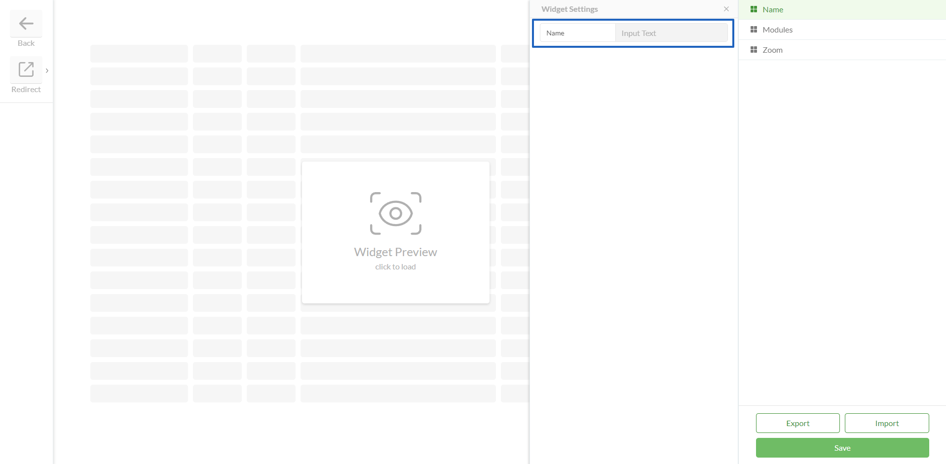
Name | | |
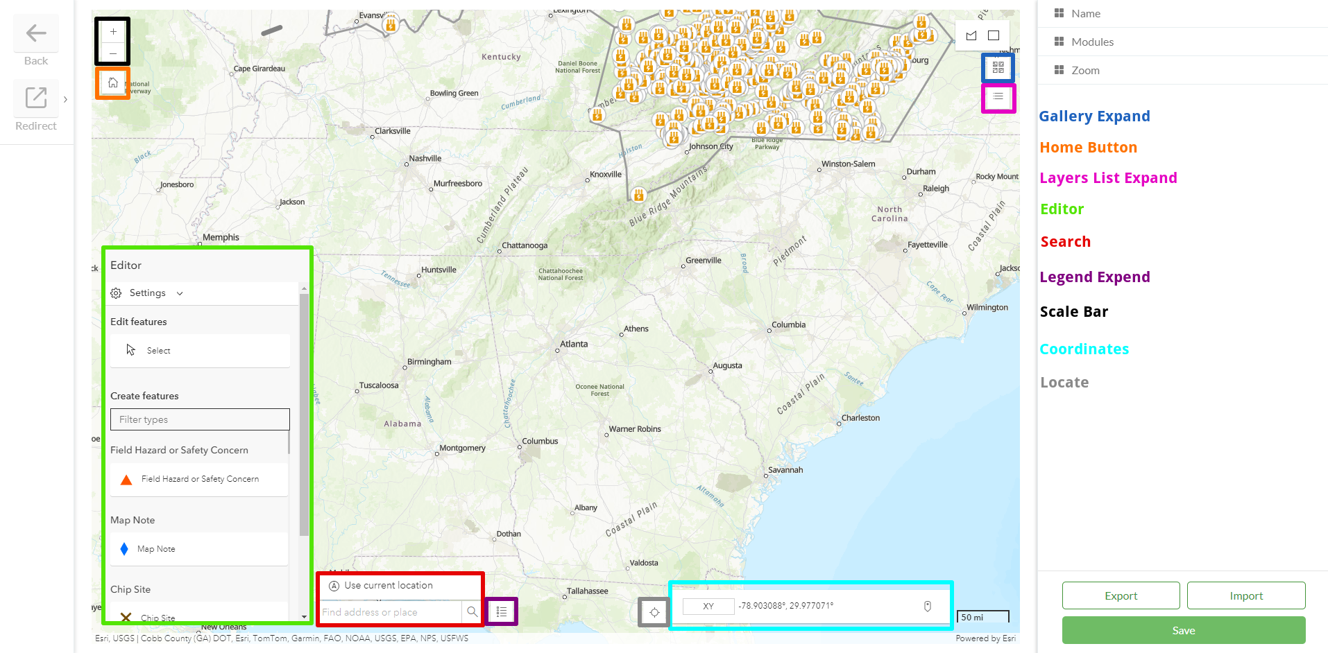
Modules | Each of the modules has three options: Name, Visible, Position The Name option is not visible to users, it is used solely for configuration purposes to identify the function The Visible option is a checkbox that determines whether the module is displayed on the map The Position option determines where on the map module is displayed: Top-right Top-left Bottom-right Bottom-left
Modules - enable or disable the following Map components: Basemap Gallery Expand - allows changing the landscape of the map. Options include Imagery, Imagery Hybrid, Streets, Topographic, Navigation, Street(Night), and Terrain with Labels Home Button - returns the map location to the default home direction Layer List Expand - in this module, the user can enable or disable the options on the map, such as Work Location, Work Spans, Work Group, etc. Editor - this module enables and disables tooltips with parameters such as snapping, Geometry guides, and Feature to feature. When the tooltips are enabled, users can select the Snapping layers on the map Search - provides a field where users can search for locations on the map Legend Expend - displays a list of all possible designations on the map Scale Bar - shows the distance from the map. Configurable unit types: km, miles, or dual (km + miles) Coordinates - displays coordinates where the user places the mouse pointer on the map. Coordinates can be shown in various formats, including X-Y, BASEMAP, DD, DDM, DMS, MGRS, USNG, and UTM Locate - returns the user to his correct location on the map Bookmaks - allow to save locations and quickly access and navigate to specific points of interest without searching again. Measurement Tool - allows users to quickly calculate distances, areas, and locations, helps them to make spatial decisions, validate features, and plan accurately without leaving the map
| |
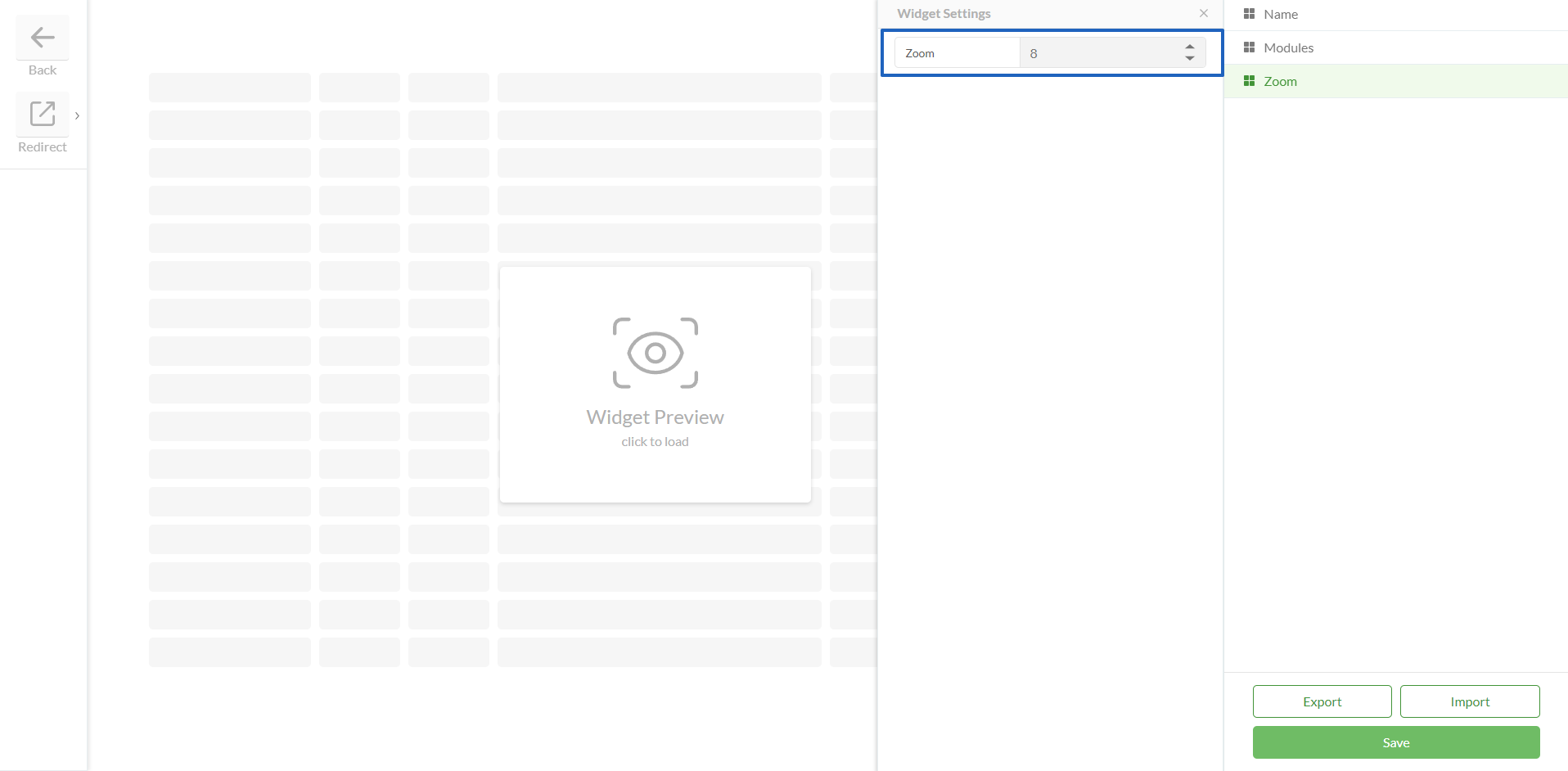
Zoom | | |
Map Visibility Settings | Preserve Map Zoom Level - an option to preserve the zoom level when users navigate between pages, ensuring a more consistent viewing experience. This behavior is available as a configurable option, allowing projects to enable or disable it based on their needs Preserve Map State - an option to preserve the visibility state of the Map (loaded, expanded, or collapsed) during navigation across pages and tabs Load Map By Default - an option to control whether the Map loads automatically on the page
| .png)
|
Save | | |


.png)
.png)